As an Amazon Associate, I earn from qualifying purchases
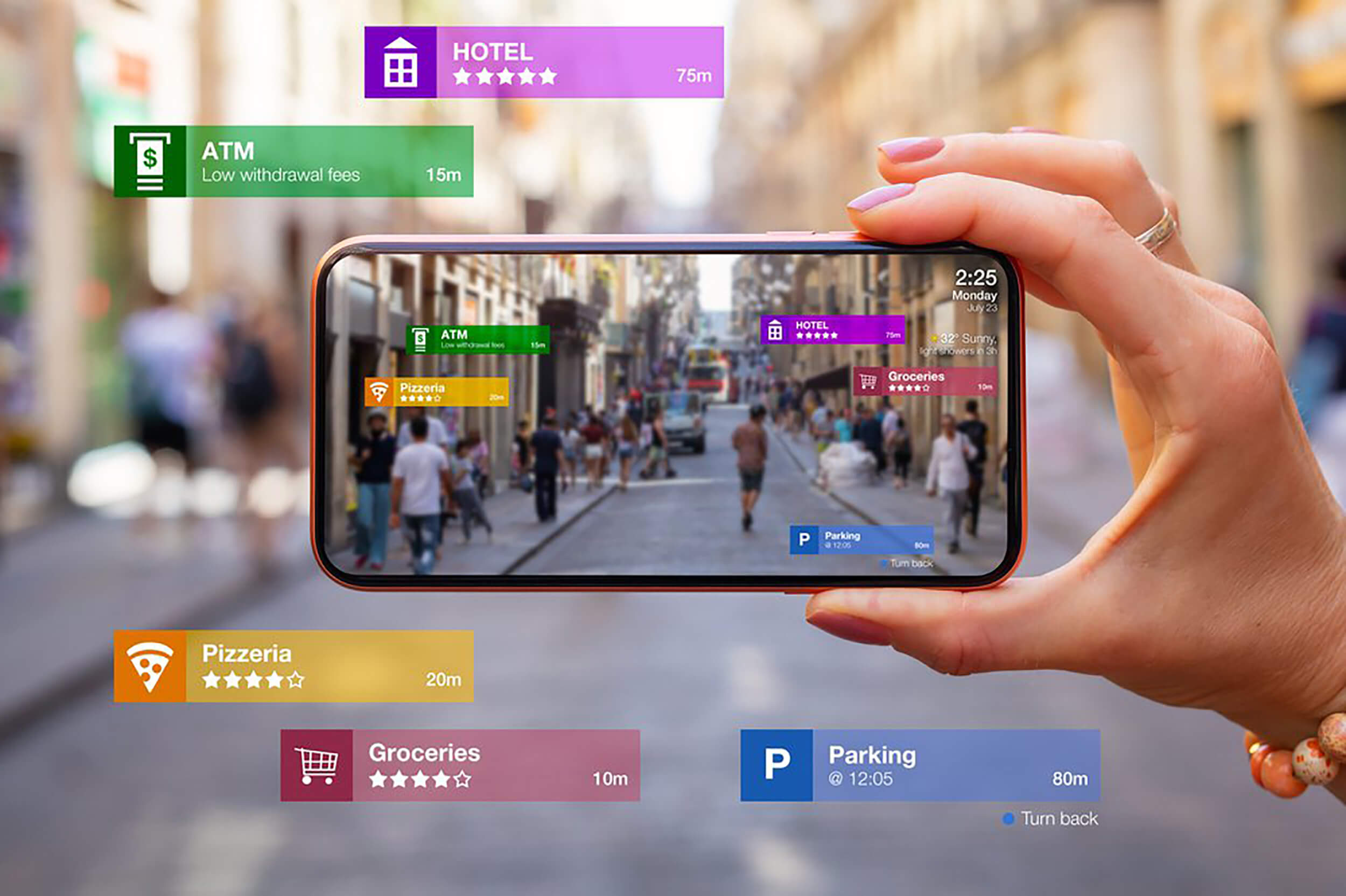
Navigating a new city while driving can be stressful. Technology can make it easier.
In today’s world, several apps can help you find your way. These apps provide real-time traffic updates, turn-by-turn directions, and even suggest alternative routes. They can make your driving experience smoother and less stressful. Whether you’re on a business trip, vacation, or just exploring, having the right navigation app is crucial.
The right app helps you reach your destination safely and on time. Stay tuned to discover some of the best navigation apps for unfamiliar cities.

Credit: rockpaperreality.com
Google Maps
Google Maps is one of the most popular navigation apps. It helps drivers find their way in unfamiliar cities. Its user-friendly interface and accurate directions make it a top choice for many.
Features
Google Maps offers real-time traffic updates. It can suggest the fastest routes based on current conditions. Users can also find nearby businesses and landmarks. The app provides voice-guided turn-by-turn navigation. It includes street view and satellite images. Offline maps are available for areas without internet access.
Pros And Cons
Pros:
- Real-time traffic updates
- Accurate directions
- Voice-guided navigation
- Street view and satellite images
- Offline maps
Cons:
- Can drain the phone battery
- Requires internet for some features
- May have occasional map inaccuracies

Credit: medium.com
Waze
When driving in a new city, having a reliable navigation app is crucial. Waze stands out among the best for its community-driven features. It offers real-time traffic updates, helping drivers find the fastest routes and avoid traffic jams.
Community-based Navigation
Waze relies on its community of users to provide accurate information. Drivers can report accidents, road closures, and other hazards. This user-generated data helps keep maps up-to-date and routes efficient.
The app also allows users to share information about gas prices. This can help you find the cheapest fuel in your area. The more users contribute, the better the navigation experience for everyone.
Real-time Traffic Updates
With Waze, you get real-time traffic updates from other drivers. The app constantly monitors road conditions and adjusts your route as needed. This ensures you always have the quickest path to your destination.
Waze also alerts you to speed traps and red-light cameras. This helps you avoid fines and drive more safely. The app’s ability to provide these updates in real time sets it apart from other navigation tools.
Apple Maps
Apple Maps is a powerful tool for navigating unfamiliar cities while driving. It offers detailed maps, directions, and real-time traffic updates. Designed for iOS users, it seamlessly integrates with other Apple services. Let’s explore its unique features and integration with iOS.
Integration With Ios
Apple Maps integrates smoothly with iOS devices. It works perfectly with Siri, allowing you to use voice commands for directions. This keeps your hands free and your focus on the road.
Apple Maps is also compatible with the Apple Watch. You can receive turn-by-turn directions on your wrist. This is helpful if you need glances at the directions without looking at your phone.
Another advantage is the integration with your Apple Calendar and Contacts. If you have an event location saved in your calendar, Apple Maps will notify you when it’s time to leave. It considers traffic conditions to ensure you arrive on time.
Unique Features
Apple Maps offers several unique features that enhance your driving experience. The Flyover feature provides a 3D view of major cities. This helps you visualize your destination before you arrive.
It also includes detailed indoor maps for airports and malls. If you’re unfamiliar with large public spaces, this feature is very useful. You can find specific stores or restrooms easily.
Another standout feature is the lane guidance. It tells you which lane to be in for upcoming turns. This is especially useful in busy city streets with multiple lanes.
Apple Maps also provides real-time updates on traffic conditions. It suggests alternative routes if there is heavy traffic or road closures. This saves you time and reduces stress while driving in unfamiliar cities.
Public transit information is available in many cities. If you decide to park your car and use public transport, Apple Maps can guide you through it.
| Features | Benefits |
|---|---|
| Flyover | Visualize the destination in 3D |
| Indoor Maps | Navigate large public spaces |
| Lane Guidance | Stay in the correct lane |
| Real-Time Traffic Updates | Avoid delays |
| Public Transit Information | Easy switch to public transport |

Credit: makeiterate.com
Here Wego
Exploring a new city can be thrilling. But navigating while driving can be daunting. Here WeGo is an app that makes this easier. It offers detailed maps and navigation features. It helps you find your way around unfamiliar cities with ease.
Offline Maps
Here WeGo allows you to download maps. You can use these maps offline. This is helpful when you have no internet connection. You can still find your way. Download maps for the city you plan to visit. You won’t get lost, even without data.
Public Transportation Integration
Here WeGo integrates public transportation options. It shows you bus, train, and tram routes. You can find the best way to get around the city. You see schedules and stops. This feature is useful if you want to use public transport. You can plan your trip easily.
Sygic
When navigating unfamiliar cities while driving, Sygic stands out as a top choice. This app offers impressive features that make driving in new places easier and safer. Its user-friendly interface and advanced technology ensure a smooth experience for drivers.
3d Mapping
Sygic provides 3D mapping, which offers a realistic view of your surroundings. This feature helps you understand the layout of the city better. Buildings, landmarks, and terrain are displayed in 3D, making it easier to navigate. With this feature, you can see the road ahead more clearly.
Advanced Safety Features
Sygic includes various advanced safety features to enhance your driving experience. These features ensure you stay safe on the road. Some of these safety features are:
- Real-time traffic information
- Speed limit warnings
- Lane guidance
- Head-up display (HUD)
These features alert you to potential hazards and help you drive more confidently in unfamiliar cities. The real-time traffic information keeps you updated on current road conditions, while speed limit warnings ensure you stay within legal limits.
Copilot Gps
Navigating unfamiliar cities while driving can be a challenge. CoPilot GPS is an excellent app designed to help drivers find their way easily. It offers several features that make navigation simple and reliable. Let’s explore some key aspects of CoPilot GPS.
Customizable Routes
One standout feature of CoPilot GPS is its customizable routes. Users can adjust their routes based on their preferences. For example, you can avoid toll roads or highways.
Here are some options you can customize:
- Avoiding tolls
- Using highways
- Shortest distance
- Quickest time
This flexibility allows you to choose the best route for your needs, making your trip more enjoyable and stress-free.
Offline Capabilities
Another significant advantage of CoPilot GPS is its offline capabilities. You can download maps and use them without an internet connection. This is especially useful in areas with poor or no network coverage.
Benefits of offline capabilities include:
- No data usage
- Reliable navigation
- Access in remote areas
These features ensure you remain on track, regardless of your location or network availability.
In summary, CoPilot GPS offers customizable routes and offline capabilities that make it a top choice for navigating unfamiliar cities while driving. Its user-friendly features provide a smooth and stress-free travel experience.
Frequently Asked Questions
What Are The Best Navigation Apps For Drivers?
Some of the best navigation apps for drivers include Google Maps, Waze, and Apple Maps. These apps offer real-time traffic updates, route suggestions, and other useful features.
How Does Waze Help In Navigating Cities?
Waze helps by providing real-time traffic updates, alerts about hazards, and alternate routes. It uses data from other drivers to offer accurate information.
Is Google Maps Reliable For City Navigation?
Yes, Google Maps is highly reliable. It offers accurate directions, real-time traffic updates, and various route options. It also provides information on nearby points of interest.
Can Apple Maps Be Used For Driving?
Yes, Apple Maps can be used for driving. It provides accurate turn-by-turn directions, traffic updates, and integrates well with iPhones and Apple CarPlay.
Conclusion
Navigating unfamiliar cities can be stress-free with the right apps. With these apps, drivers can find the best routes and avoid traffic. They offer real-time updates and user-friendly interfaces. This makes driving in new places easier and safer. Try a few to see which one fits your needs best.
Safe travels!
As an Amazon Associate, I earn from qualifying purchases


